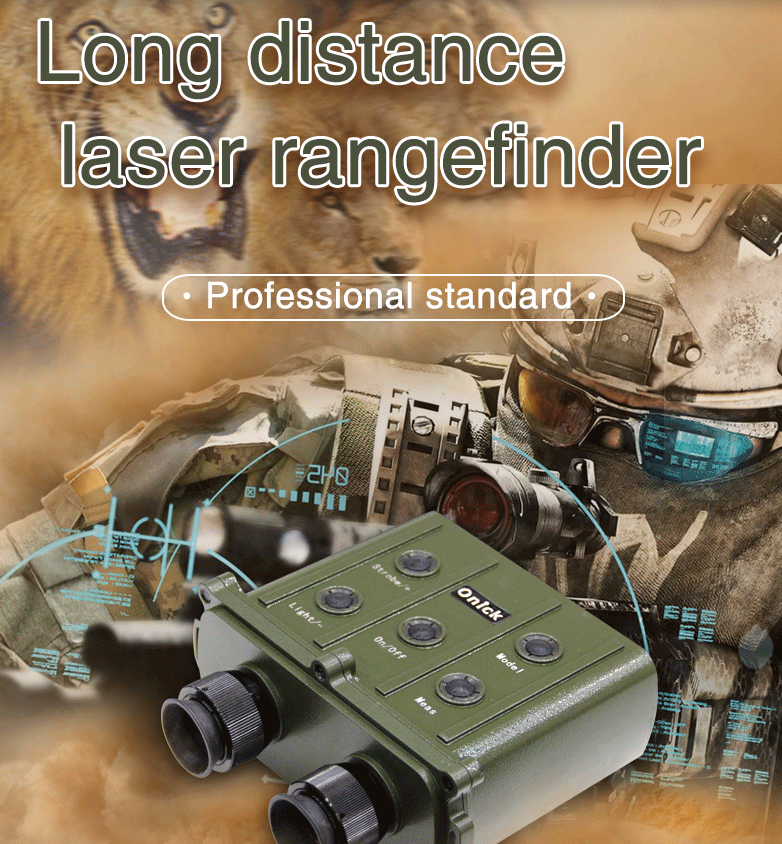
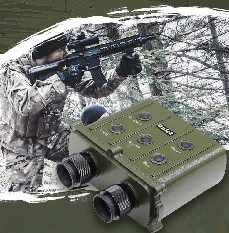
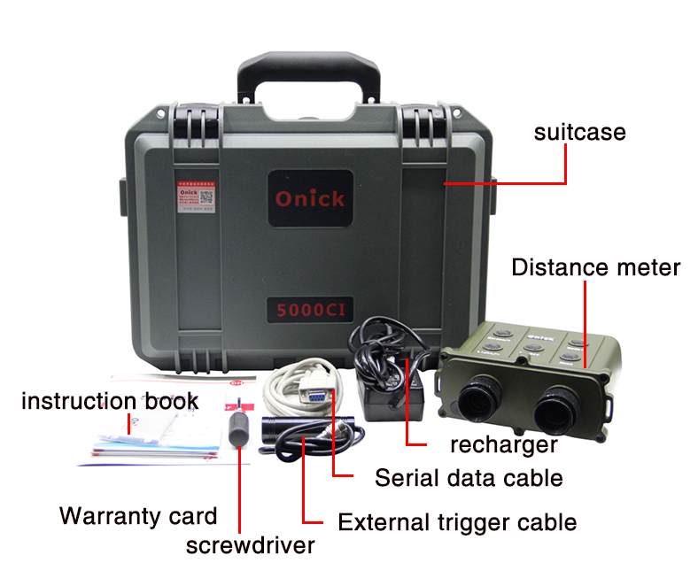
The Onick CI series binocular laser rangefinder has been newly upgraded, with patent application number 202030826525.7. The CI series ultra-long-range binocular laser rangefinder features fast measurement, autofocus, and can measure distance, height, and angle. It also includes an azimuth (electronic compass), accurate averaging, and powerful data storage. Its versatile functionality, compact size, portability, and ease of operation make it widely used in industries such as river and waterway surveying, benchmarking, telecommunications, cables, geological surveying, meteorology, airports, and forestry.

The Onick 20,000-meter laser rangefinder is a high-performance measurement tool widely used in construction, engineering, and surveying. The following are some of its general features and functions:
1. Distance measurement capability: As the name suggests, this laser rangefinder has a range measurement capability of up to 20,000 meters, meeting a variety of measurement needs.
2. High accuracy: It generally offers high measurement accuracy, making it suitable for tasks requiring precise data, such as topographic surveying and building design. 3. Multifunctionality: In addition to basic distance measurement, it may also offer a variety of functions, such as area and volume calculations and slope measurement, enhancing measurement flexibility.
4. Ease of Use: Typically features a simple, easy-to-understand user interface for easy setup and operation.
5. Durability: Many laser rangefinders are designed to be shock-resistant and IP-rated for water and dust resistance, making them suitable for use in a variety of environments.
6. Data Storage: Some models support the storage of measurement data for easy review and analysis.

Product Features
High-precision long-range measurement: 20,000 meters with an accuracy of 2 meters;
Gate function allows for setting a minimum range channel;
Average distance measurement function (AGV);
Standard RS232 serial port, also compatible with Bluetooth for data transfer to PDAs and computers;
Storage and review of measurement data, including data sending, retrieval, deletion, and illumination functions;
In normal ranging mode, displays the horizontal and vertical distances to the target as "HXXXX.X m VXXX.X m."
The device displays azimuth, bearing, and elevation. Azimuth is displayed throughout 360°, starting at N000.0° for true north and gradually increasing eastward to a maximum of N359.9°. The elevation display range is ±45°, displayed as "<±XX.XX°."

Applications
River channels, waterways, landmarks, telecommunications, cables, geological surveying, meteorology, airports, forestry, power generation, industry, forestry, security, and geological exploration.


