A laser rangefinder is an instrument that uses a modulated laser parameter to accurately measure the distance to a target. It operates by emitting a laser beam, receiving the laser beam reflected from the target, and calculating the reflection time to determine the distance between the target and the laser rangefinder. Laser rangefinders offer advantages such as high accuracy, fast speed, and non-contact measurement. Therefore, they are widely used in power line selection surveys, engineering surveying, geological surveying, and architectural surveying.
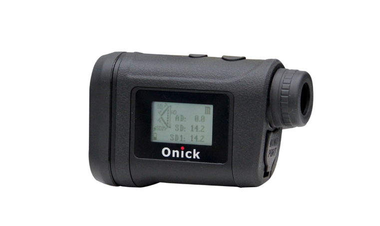
A full-featured, anti-shake rangefinder with multiple measurement functions
For perfectionists who demand the most aesthetically pleasing laser rangefinders, Onika Optics has incorporated a stylish, ergonomic design while maintaining superior functionality. This compact, lightweight design features innovative lens coatings and high light transmittance for clearer observations. Onick has launched the 3000X, a full-featured laser rangefinder with a comprehensive range of functions. It features a zero-meter measurement range, a ±0.2m accuracy, and can measure circular and rectangular areas, as well as the distance between any two points in space. It also includes azimuth, and in azimuth mode, it simultaneously obtains GPS information and displays the longitude and latitude of the coordinate points. Its performance and accuracy meet your needs in various operating environments!
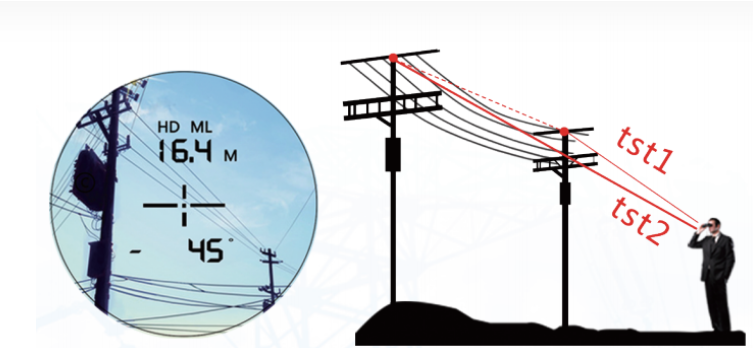
Features:
1. Measure distances up to 3000m (3500m for highly reflective objects), with a zero-meter measurement range and a 0.2m accuracy.
2. Powerful functions include distance measurement, height difference measurement, inclination measurement, circular and rectangular area measurement, and distance measurement between any two points in space.
3. Azimuth, in azimuth mode, it simultaneously obtains GPS information and displays the longitude and latitude of the coordinate points.
4. Features vibration alerts and storage functions, along with a Bluetooth serial port for connecting to an app.
5. Ergonomic design, compact, and lightweight.
In recent years, with the rapid development of science and technology, laser ranging technology has become the most accurate method for determining the orbits of space targets, facilitating high-precision measurement and monitoring of space targets. To monitor transmission line status in real time and efficiently in the power industry, laser ranging technology has become a widely used method for accurately locating and measuring transmission line faults.
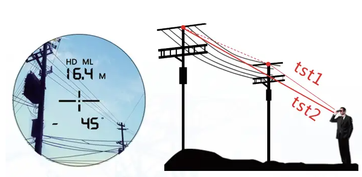
Span telemetry, span measurement
In HDML mode, measure the line points of two utility poles separately to obtain the horizontal distance (span) between the two points.
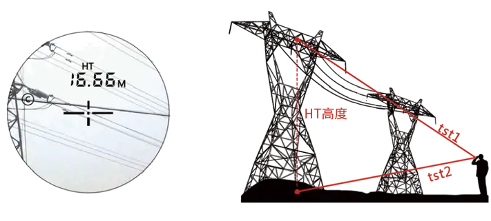
Measuring the height of cables, concrete poles, and iron poles
In HT mode, measure the top and bottom of a pole separately to obtain its height.
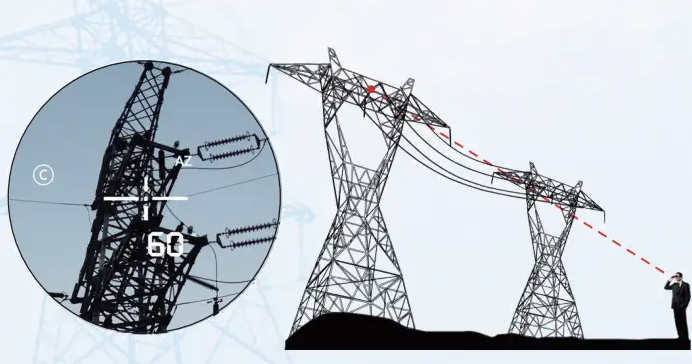
Azimuth measurement and line direction
In AZ mode, it can replace a compass to determine the bearing of a target.
Onick Optics, a leading domestic laser measurement brand, specializes in the research, development, production, and sales of laser measurement and optical products. Our independently developed laser rangefinders offer powerful measurement capabilities and high accuracy, serving a wide range of industries, including power generation, environmental protection, water conservancy, safety supervision, emergency rescue, forestry, geology, petroleum exploration, research institutes, ranches, municipal administration, and outdoor sports. We solve measurement problems for users in various industries and provide the simplest and most convenient measurement solutions.


